St George's Retreat
Introduction
The photograph on this page of St George's Retreat by Simon Carey as part of the Geograph project.
The Geograph project started in 2005 with the aim of publishing, organising and preserving representative images for every square kilometre of Great Britain, Ireland and the Isle of Man.

There are currently over 7.5m images from over 14,400 individuals and you can help contribute to the project by visiting https://www.geograph.org.uk
St George's Retreat
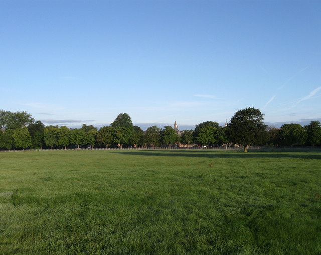
Image: © Simon Carey Taken: 16 Aug 2009
Viewed from Dry Pit Field, the name given to the field according to the 1843 tithe map. The retreat was opened in the mid 19th century as a catholic home for the mentally ill run by the Augustinian Nuns. They still run it but as a care home these days with a recent retirement village added on the northern side. The home also comes with 250 acres of farm and parkland.
Images are licensed for reuse under creativecommons.org/licenses/by-sa/2.0
Image Location
Latitude
50.957764
Longitude
-0.095138