Vanished moat
Introduction
The photograph on this page of Vanished moat by Stephen Craven as part of the Geograph project.
The Geograph project started in 2005 with the aim of publishing, organising and preserving representative images for every square kilometre of Great Britain, Ireland and the Isle of Man.

There are currently over 7.5m images from over 14,400 individuals and you can help contribute to the project by visiting https://www.geograph.org.uk
Vanished moat
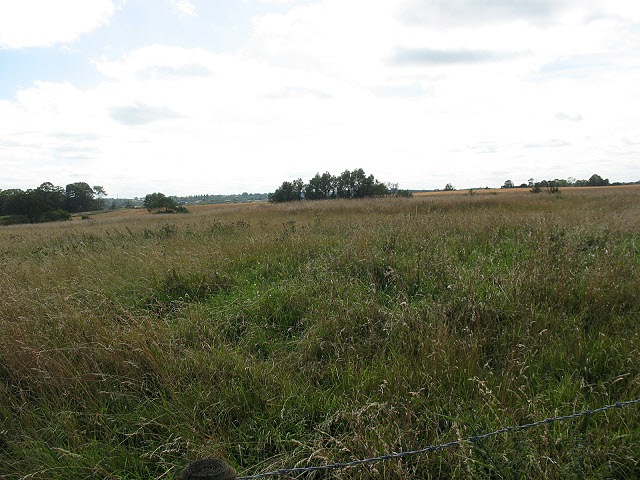
Image: © Stephen Craven Taken: 15 Aug 2009
One of two 'moats' shown on the map, with nothing to see of it on the ground. For more history see Image
Images are licensed for reuse under creativecommons.org/licenses/by-sa/2.0
Image Location
Latitude
51.792543
Longitude
0.075855