Potato Wharf
Introduction
The photograph on this page of Potato Wharf by Alan Murray-Rust as part of the Geograph project.
The Geograph project started in 2005 with the aim of publishing, organising and preserving representative images for every square kilometre of Great Britain, Ireland and the Isle of Man.

There are currently over 7.5m images from over 14,400 individuals and you can help contribute to the project by visiting https://www.geograph.org.uk
Potato Wharf
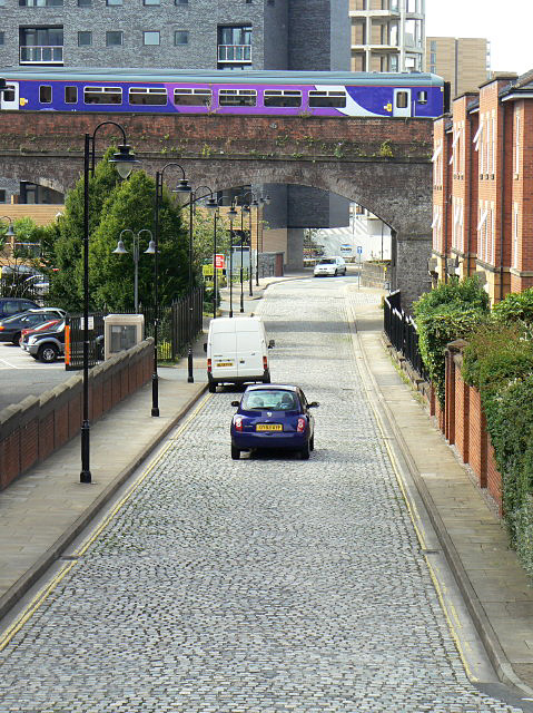
Image: © Alan Murray-Rust Taken: 14 Aug 2009
This oddly named street is adjacent to Canal basins at the original head of the Bridgewater Canal, and presumably derives from the fact that this is where agricultural produce for the city would arrive.
Images are licensed for reuse under creativecommons.org/licenses/by-sa/2.0
Image Location
Latitude
53.47638
Longitude
-2.257302