Harlow Town FC stadium
Introduction
The photograph on this page of Harlow Town FC stadium by Stephen Craven as part of the Geograph project.
The Geograph project started in 2005 with the aim of publishing, organising and preserving representative images for every square kilometre of Great Britain, Ireland and the Isle of Man.

There are currently over 7.5m images from over 14,400 individuals and you can help contribute to the project by visiting https://www.geograph.org.uk
Harlow Town FC stadium
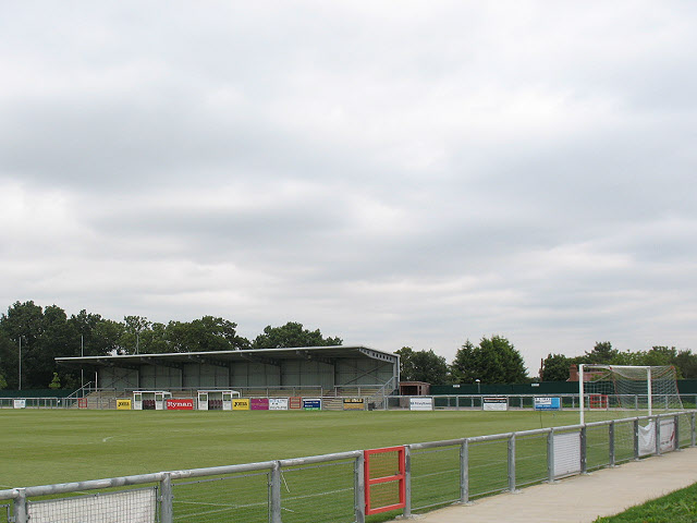
Image: © Stephen Craven Taken: 15 Aug 2009
The first of four sports grounds going east along the A1169 on the edge of Harlow is the football club. For the others, all in the next square, see Image, Image and Image This is the southern end of the pitch, viewed over the stadium wall.
Images are licensed for reuse under creativecommons.org/licenses/by-sa/2.0
Image Location
Latitude
51.771186
Longitude
0.068207