Roydon Hamlet
Introduction
The photograph on this page of Roydon Hamlet by Stephen Craven as part of the Geograph project.
The Geograph project started in 2005 with the aim of publishing, organising and preserving representative images for every square kilometre of Great Britain, Ireland and the Isle of Man.

There are currently over 7.5m images from over 14,400 individuals and you can help contribute to the project by visiting https://www.geograph.org.uk
Roydon Hamlet
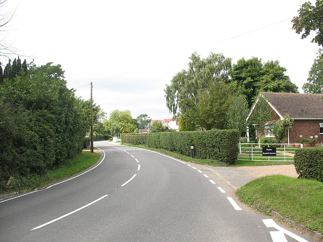
Image: © Stephen Craven Taken: 15 Aug 2009
Three roads meet in the centre of this hamlet. This one - Hamlet Hill - has bungalows either side. Perhaps planning policy forbids two-storey developments here on top of the hill?
Images are licensed for reuse under creativecommons.org/licenses/by-sa/2.0
Image Location
Latitude
51.750551
Longitude
0.044953