Meadow at Lower Nazeing
Introduction
The photograph on this page of Meadow at Lower Nazeing by Stephen Craven as part of the Geograph project.
The Geograph project started in 2005 with the aim of publishing, organising and preserving representative images for every square kilometre of Great Britain, Ireland and the Isle of Man.

There are currently over 7.5m images from over 14,400 individuals and you can help contribute to the project by visiting https://www.geograph.org.uk
Meadow at Lower Nazeing
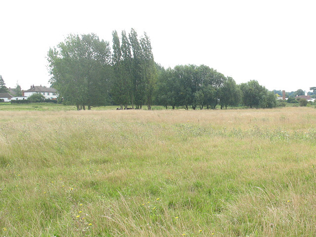
Image: © Stephen Craven Taken: 15 Aug 2009
The land is probably part of the River Lea flood plain which would explain why it has not been developed. The houses in the distance on North Street are a little higher.
Images are licensed for reuse under creativecommons.org/licenses/by-sa/2.0
Image Location
Latitude
51.739312
Longitude
0.00838