"Clitheroe Kate's" (Pub) Mincing Lane
Introduction
The photograph on this page of "Clitheroe Kate's" (Pub) Mincing Lane by Robert Wade as part of the Geograph project.
The Geograph project started in 2005 with the aim of publishing, organising and preserving representative images for every square kilometre of Great Britain, Ireland and the Isle of Man.

There are currently over 7.5m images from over 14,400 individuals and you can help contribute to the project by visiting https://www.geograph.org.uk
"Clitheroe Kate's" (Pub) Mincing Lane
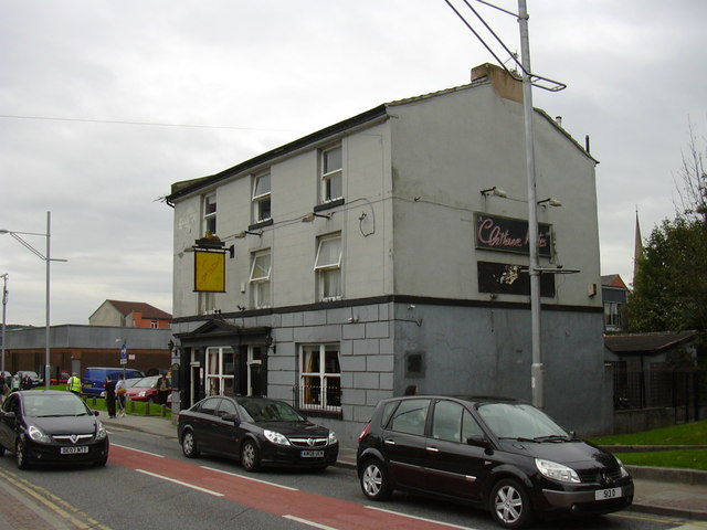
Image: © Robert Wade Taken: 14 Aug 2009
Used to be "The Old Bank" public house.
Images are licensed for reuse under creativecommons.org/licenses/by-sa/2.0
Image Location
Latitude
53.746852
Longitude
-2.484585