Tolland: Watersmeet Farm
Introduction
The photograph on this page of Tolland: Watersmeet Farm by Martin Bodman as part of the Geograph project.
The Geograph project started in 2005 with the aim of publishing, organising and preserving representative images for every square kilometre of Great Britain, Ireland and the Isle of Man.

There are currently over 7.5m images from over 14,400 individuals and you can help contribute to the project by visiting https://www.geograph.org.uk
Tolland: Watersmeet Farm
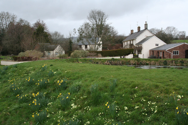
Image: © Martin Bodman Taken: 30 Mar 2006
And the site of Tolland Mill, once water-powered. Looking north west from the public footpath to Gaulden Manor
Images are licensed for reuse under creativecommons.org/licenses/by-sa/2.0
Image Location


Leaflet Map data © OpenStreetMap
Latitude
51.072232
Longitude
-3.278114