Warsop Main Colliery pit tip
Introduction
The photograph on this page of Warsop Main Colliery pit tip by Ann B as part of the Geograph project.
The Geograph project started in 2005 with the aim of publishing, organising and preserving representative images for every square kilometre of Great Britain, Ireland and the Isle of Man.

There are currently over 7.5m images from over 14,400 individuals and you can help contribute to the project by visiting https://www.geograph.org.uk
Warsop Main Colliery pit tip
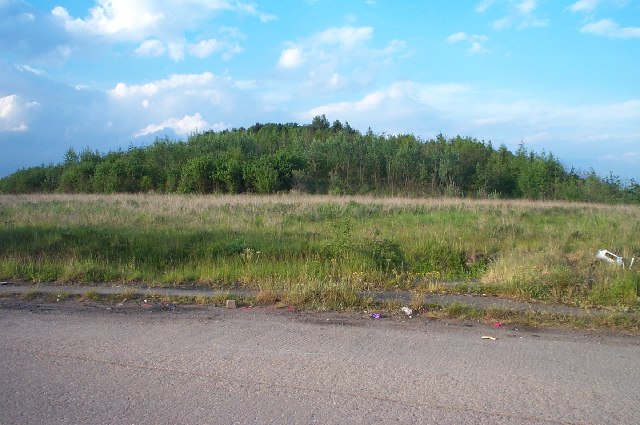
Image: © Ann B Taken: 31 May 2005
Warsop Main Colliery was on this site until its closure in 1989.
Images are licensed for reuse under creativecommons.org/licenses/by-sa/2.0
Image Location
Latitude
53.210778
Longitude
-1.185399