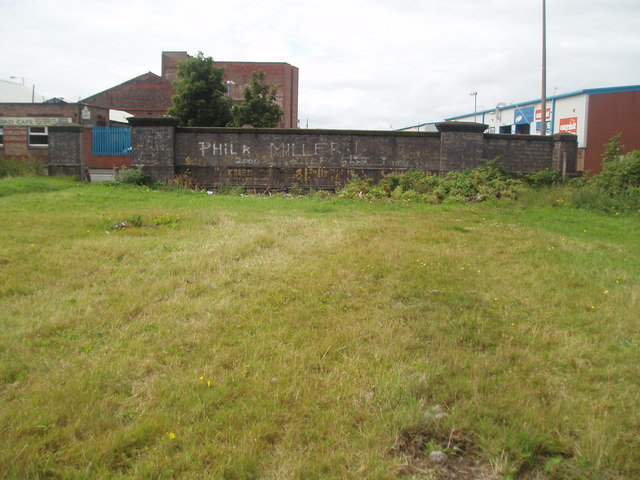
A section of the now filled-in goods railway line, Irlam Road, Bootle.
Introduction
The photograph on this page of A section of the now filled-in goods railway line, Irlam Road, Bootle. by david lawler as part of the Geograph project.
The Geograph project started in 2005 with the aim of publishing, organising and preserving representative images for every square kilometre of Great Britain, Ireland and the Isle of Man.
There are currently over 7.5m images from over 14,400 individuals and you can help contribute to the project by visiting https://www.geograph.org.uk

Image: © david lawler Taken: 18 Jul 2009
The once busy goods railway line, linking the North Liverpool dock system with the national railway lines, ran partly underground beneath this section. As the steam locomotives emerged briefly from the tunnels far below the roadway, the air around would be filled with a mixture of steam and smoke. A very evocative image from an age now passed. . . Note the top arch of the mouth of one of the original tunnels. Ordnance survey sheet:SJ 39 NW (1956) has detail of the original route of the railway line in question.

