Old Fence Line
Introduction
The photograph on this page of Old Fence Line by Jonathan Kington as part of the Geograph project.
The Geograph project started in 2005 with the aim of publishing, organising and preserving representative images for every square kilometre of Great Britain, Ireland and the Isle of Man.

There are currently over 7.5m images from over 14,400 individuals and you can help contribute to the project by visiting https://www.geograph.org.uk
Old Fence Line
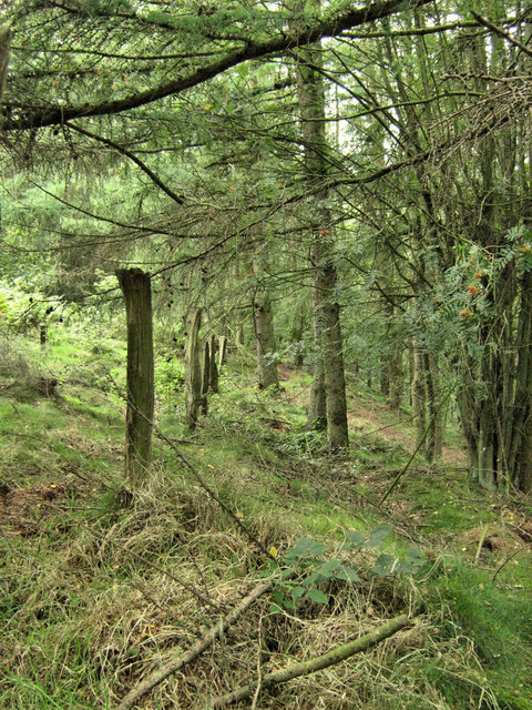
Image: © Jonathan Kington Taken: 13 Aug 2009
This fence, near the top of Far Kingsley Banks, would originally have marked the edge of the Larch plantation on the right of the picture.
Images are licensed for reuse under creativecommons.org/licenses/by-sa/2.0
Image Location


Leaflet Map data © OpenStreetMap
Latitude
53.030005
Longitude
-2.00473