Marsh Lane past Rue's Farm
Introduction
The photograph on this page of Marsh Lane past Rue's Farm by Andrew Hill as part of the Geograph project.
The Geograph project started in 2005 with the aim of publishing, organising and preserving representative images for every square kilometre of Great Britain, Ireland and the Isle of Man.

There are currently over 7.5m images from over 14,400 individuals and you can help contribute to the project by visiting https://www.geograph.org.uk
Marsh Lane past Rue's Farm
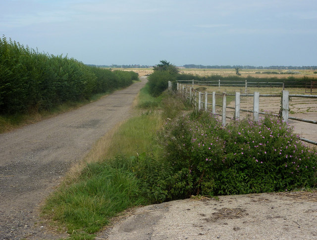
Image: © Andrew Hill Taken: 14 Aug 2009
The lane becomes a track towards the low lying fields near the Deben estuary. It leads past Holmhill Farm to the embankment at Kings Fleet in the next square north. I walked the track from the shore end (there is no sign at that end forbidding walkers). However on reaching the corner in view on this picture, for walkers towards the coast there is a sign saying "Private, no footpath".
Images are licensed for reuse under creativecommons.org/licenses/by-sa/2.0
Image Location
Latitude
51.985438
Longitude
1.373075