Cutting, Kilbarchan Loop Railway
Introduction
The photograph on this page of Cutting, Kilbarchan Loop Railway by Richard Webb as part of the Geograph project.
The Geograph project started in 2005 with the aim of publishing, organising and preserving representative images for every square kilometre of Great Britain, Ireland and the Isle of Man.

There are currently over 7.5m images from over 14,400 individuals and you can help contribute to the project by visiting https://www.geograph.org.uk
Cutting, Kilbarchan Loop Railway
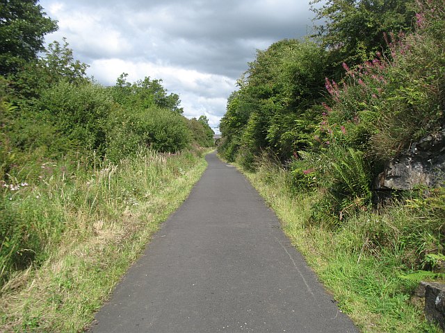
Image: © Richard Webb Taken: 13 Aug 2009
Also known as the Dalry and North Johnstone Line, or Lochwinnoch Loop, this railway which is mostly in cuttings, is now a cycle path (NCN 7).
Images are licensed for reuse under creativecommons.org/licenses/by-sa/2.0
Image Location
Latitude
55.777014
Longitude
-4.653033