Mansfield Road, NW3 (1)
Introduction
The photograph on this page of Mansfield Road, NW3 (1) by Danny P Robinson as part of the Geograph project.
The Geograph project started in 2005 with the aim of publishing, organising and preserving representative images for every square kilometre of Great Britain, Ireland and the Isle of Man.

There are currently over 7.5m images from over 14,400 individuals and you can help contribute to the project by visiting https://www.geograph.org.uk
Mansfield Road, NW3 (1)
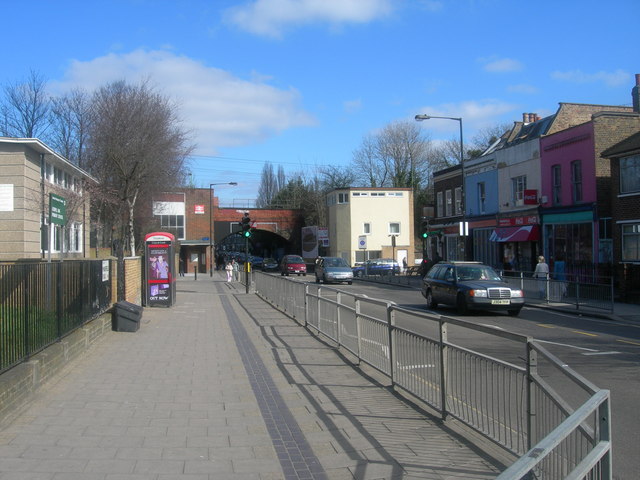
Image: © Danny P Robinson Taken: 19 Mar 2006
Looking towards Gospel Oak station, facing ENE. For most of the length of this road it is the boundary between NW3 and NW5 Postal Districts.
Images are licensed for reuse under creativecommons.org/licenses/by-sa/2.0
Image Location
Latitude
51.553829
Longitude
-0.152274