Plantation Side - 1
Introduction
The photograph on this page of Plantation Side - 1 by John Sutton as part of the Geograph project.
The Geograph project started in 2005 with the aim of publishing, organising and preserving representative images for every square kilometre of Great Britain, Ireland and the Isle of Man.

There are currently over 7.5m images from over 14,400 individuals and you can help contribute to the project by visiting https://www.geograph.org.uk
Plantation Side - 1
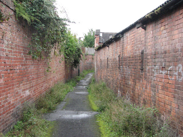
Image: © John Sutton Taken: 12 Aug 2009
Partly footpath and partly suburban street, Plantation Side runs from Alfreton Road Bobbers Mill to Gauntley Street, near the former Gerard's Soap Works. This is the narrow footpath between parts of the Lindley & Lindley complex, looking towards Alfreton Road.
Images are licensed for reuse under creativecommons.org/licenses/by-sa/2.0
Image Location
Latitude
52.967037
Longitude
-1.179416