Lowick Road Islip
Introduction
The photograph on this page of Lowick Road Islip by Will Lovell as part of the Geograph project.
The Geograph project started in 2005 with the aim of publishing, organising and preserving representative images for every square kilometre of Great Britain, Ireland and the Isle of Man.

There are currently over 7.5m images from over 14,400 individuals and you can help contribute to the project by visiting https://www.geograph.org.uk
Lowick Road Islip
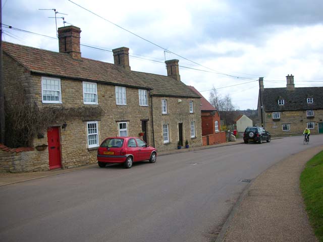
Image: © Will Lovell Taken: 30 Mar 2006
Looking south-east down Lowick Road to the Rose & Crown PH (closed at present) which stands at the junction of Mill Road and High Street. The Nene Way footpath goes down the pub garden.
Images are licensed for reuse under creativecommons.org/licenses/by-sa/2.0
Image Location


Leaflet Map data © OpenStreetMap
Latitude
52.401382
Longitude
-0.550658