Trethevy Quoit
Introduction
The photograph on this page of Trethevy Quoit by Amanda King as part of the Geograph project.
The Geograph project started in 2005 with the aim of publishing, organising and preserving representative images for every square kilometre of Great Britain, Ireland and the Isle of Man.

There are currently over 7.5m images from over 14,400 individuals and you can help contribute to the project by visiting https://www.geograph.org.uk
Trethevy Quoit
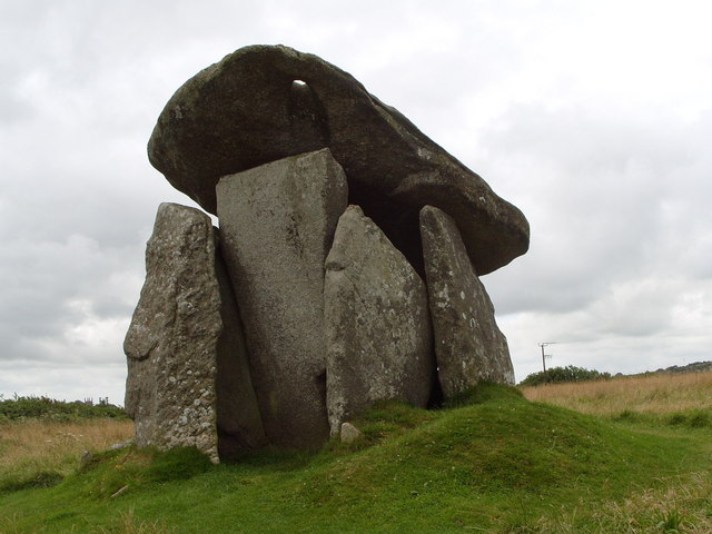
Image: © Amanda King Taken: 1 Aug 2009
Trevethy Quoit near Liskeard. This apparently dates from the Bronze age and was used as a burial chamber. There is a hole in the top stone, purpose of which seems to be unclear.
Images are licensed for reuse under creativecommons.org/licenses/by-sa/2.0
Image Location
Latitude
50.492959
Longitude
-4.456892