Allotment path to Cae Perllan road
Introduction
The photograph on this page of Allotment path to Cae Perllan road by Jaggery as part of the Geograph project.
The Geograph project started in 2005 with the aim of publishing, organising and preserving representative images for every square kilometre of Great Britain, Ireland and the Isle of Man.

There are currently over 7.5m images from over 14,400 individuals and you can help contribute to the project by visiting https://www.geograph.org.uk
Allotment path to Cae Perllan road
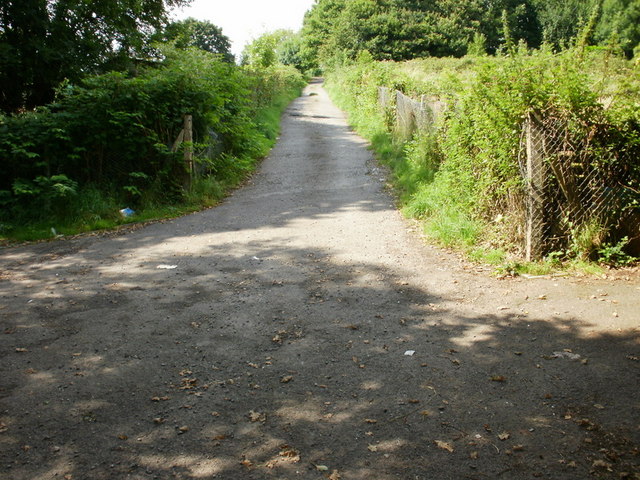
Image: © Jaggery Taken: 13 Aug 2009
After crossing the Newport to Cardiff main line, the path rises steeply towards Cae Perllan Road. Entrances to the Cae Perllan allotments are to the left and right out of view near the bottom of the picture.
Images are licensed for reuse under creativecommons.org/licenses/by-sa/2.0
Image Location
Latitude
51.579321
Longitude
-3.008706