Field at the edge of Dull Wood
Introduction
The photograph on this page of Field at the edge of Dull Wood by Dr Richard Murray as part of the Geograph project.
The Geograph project started in 2005 with the aim of publishing, organising and preserving representative images for every square kilometre of Great Britain, Ireland and the Isle of Man.

There are currently over 7.5m images from over 14,400 individuals and you can help contribute to the project by visiting https://www.geograph.org.uk
Field at the edge of Dull Wood
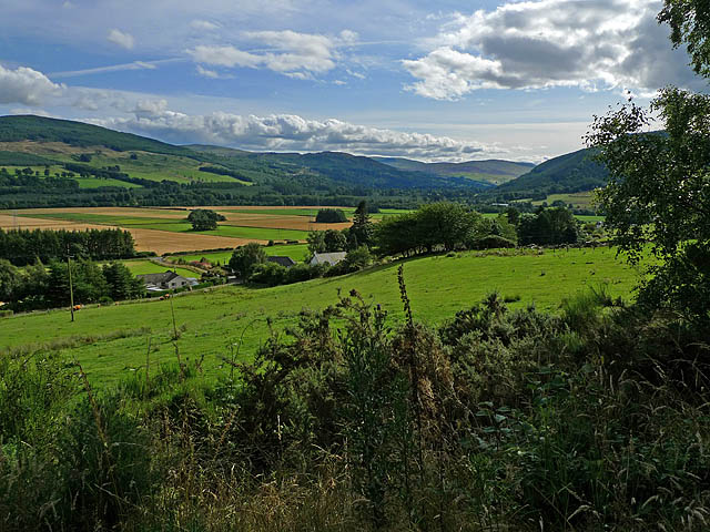
Image: © Dr Richard Murray Taken: 13 Aug 2009
With farmland in the Appin of Dull beyond. In the right background is the southern edge of forested Drummond Hill.
Images are licensed for reuse under creativecommons.org/licenses/by-sa/2.0
Image Location
Latitude
56.618097
Longitude
-3.96133