Old railway bridge near Crossgar
Introduction
The photograph on this page of Old railway bridge near Crossgar by Albert Bridge as part of the Geograph project.
The Geograph project started in 2005 with the aim of publishing, organising and preserving representative images for every square kilometre of Great Britain, Ireland and the Isle of Man.

There are currently over 7.5m images from over 14,400 individuals and you can help contribute to the project by visiting https://www.geograph.org.uk
Old railway bridge near Crossgar
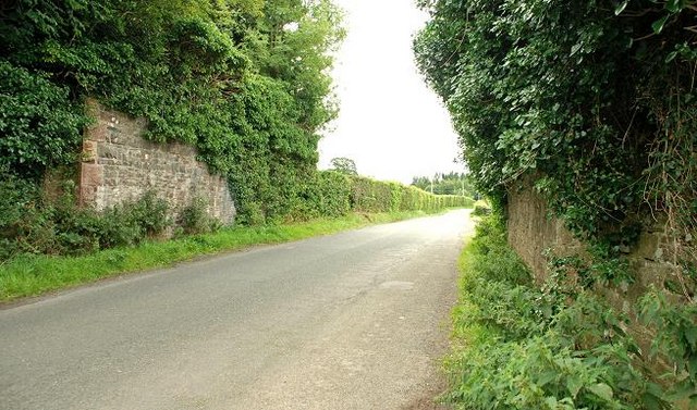
Image: © Albert Bridge Taken: 13 Aug 2009
The Saintfield (right) – Crossgar section of the old Belfast and County Down Railway, from Belfast to Newcastle (closed 1950), crossed the Creevy Road by this underbridge (now heavily overgrown with ivy).
Images are licensed for reuse under creativecommons.org/licenses/by-sa/2.0
Image Location
Latitude
54.403652
Longitude
-5.781204