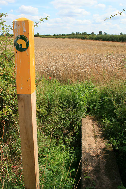
Footpath Indicator
Introduction
The photograph on this page of Footpath Indicator by David Lally as part of the Geograph project.
The Geograph project started in 2005 with the aim of publishing, organising and preserving representative images for every square kilometre of Great Britain, Ireland and the Isle of Man.
There are currently over 7.5m images from over 14,400 individuals and you can help contribute to the project by visiting https://www.geograph.org.uk

Image: © David Lally Taken: 8 Aug 2009
Leicestershire County Council have been quite keen in their deployment of these posts with a bright yellow top to mark the points at which the footpaths pass over stiles or through gates. They are a bit obtrusive, but prove very useful as they are visible across even quite large fields, allowing the walker to cross through crop fields with the confidence that they are on the correct path. This one looks like it is a popular look-out spot for the local birds!

