Harbury Lane by Warwick Gates estate
Introduction
The photograph on this page of Harbury Lane by Warwick Gates estate by Robin Stott as part of the Geograph project.
The Geograph project started in 2005 with the aim of publishing, organising and preserving representative images for every square kilometre of Great Britain, Ireland and the Isle of Man.

There are currently over 7.5m images from over 14,400 individuals and you can help contribute to the project by visiting https://www.geograph.org.uk
Harbury Lane by Warwick Gates estate
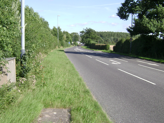
Image: © Robin Stott Taken: 11 Aug 2009
Seen from the corner of Cicero Approach. The identity of this area is in flux. The gazetteer says 'near to Whitnash', which is true, but this corner of Warwick Gates is in the parish of Bishop's Tachbrook, the village to the south. The name Warwick Gates creates an association with Warwick's heritage but the whole estate feels like a further extension of south Leamington. Politically, though, most of the estate is in the Warwick South ward.
Images are licensed for reuse under creativecommons.org/licenses/by-sa/2.0
Image Location
Latitude
52.262473
Longitude
-1.541348