Junction of cyclepath and Ophelia Drive, Warwick Gates estate
Introduction
The photograph on this page of Junction of cyclepath and Ophelia Drive, Warwick Gates estate by Robin Stott as part of the Geograph project.
The Geograph project started in 2005 with the aim of publishing, organising and preserving representative images for every square kilometre of Great Britain, Ireland and the Isle of Man.

There are currently over 7.5m images from over 14,400 individuals and you can help contribute to the project by visiting https://www.geograph.org.uk
Junction of cyclepath and Ophelia Drive, Warwick Gates estate
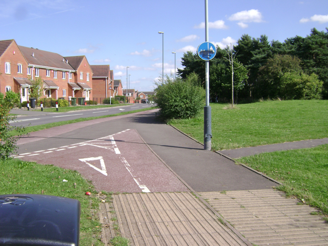
Image: © Robin Stott Taken: 11 Aug 2009
Warwick Gates was built on farmland. The little plantation of stunted Scots Pine, right, was one of the only features of the site. It has been retained as an element of the public open space.
Images are licensed for reuse under creativecommons.org/licenses/by-sa/2.0
Image Location
Latitude
52.267884
Longitude
-1.545688