Field boundary near Hockwold
Introduction
The photograph on this page of Field boundary near Hockwold by Bob Jones as part of the Geograph project.
The Geograph project started in 2005 with the aim of publishing, organising and preserving representative images for every square kilometre of Great Britain, Ireland and the Isle of Man.

There are currently over 7.5m images from over 14,400 individuals and you can help contribute to the project by visiting https://www.geograph.org.uk
Field boundary near Hockwold
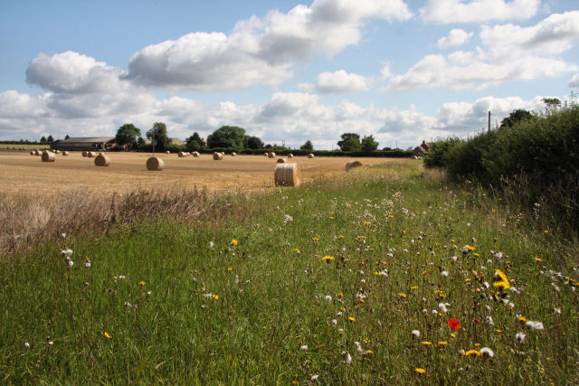
Image: © Bob Jones Taken: 11 Aug 2009
Looking eastwards alongside Burdock Lane (on the other side of the hedge).
Images are licensed for reuse under creativecommons.org/licenses/by-sa/2.0
Image Location
Latitude
52.4682
Longitude
0.51151