The end of George Street
Introduction
The photograph on this page of The end of George Street by Andrew Hill as part of the Geograph project.
The Geograph project started in 2005 with the aim of publishing, organising and preserving representative images for every square kilometre of Great Britain, Ireland and the Isle of Man.

There are currently over 7.5m images from over 14,400 individuals and you can help contribute to the project by visiting https://www.geograph.org.uk
The end of George Street
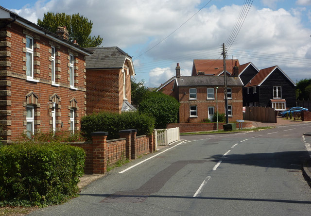
Image: © Andrew Hill Taken: 11 Aug 2009
Any through traffic needs to turn left along The Green. Straight ahead the road is named Tower Mill Lane and soon turns into a farm track.
Images are licensed for reuse under creativecommons.org/licenses/by-sa/2.0
Image Location
Latitude
52.046475
Longitude
0.963267