Future Field Of Hope Nailsea
Introduction
The photograph on this page of Future Field Of Hope Nailsea by Steve Barnes as part of the Geograph project.
The Geograph project started in 2005 with the aim of publishing, organising and preserving representative images for every square kilometre of Great Britain, Ireland and the Isle of Man.

There are currently over 7.5m images from over 14,400 individuals and you can help contribute to the project by visiting https://www.geograph.org.uk
Future Field Of Hope Nailsea
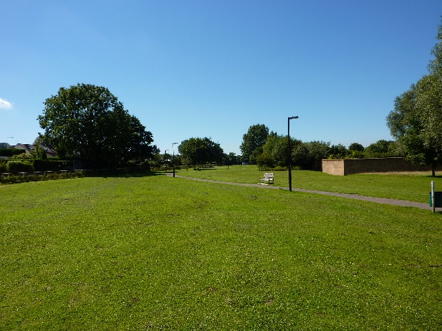
Image: © Steve Barnes Taken: 11 Aug 2009
This green walkway near Nailsea Fire Station has been designated as a Marie Curie "Field of Hope" this was taken before planting started.
Images are licensed for reuse under creativecommons.org/licenses/by-sa/2.0
Image Location
Latitude
51.437488
Longitude
-2.763303