'Top of the Hill': Gobnascale
Introduction
The photograph on this page of 'Top of the Hill': Gobnascale by louise price as part of the Geograph project.
The Geograph project started in 2005 with the aim of publishing, organising and preserving representative images for every square kilometre of Great Britain, Ireland and the Isle of Man.

There are currently over 7.5m images from over 14,400 individuals and you can help contribute to the project by visiting https://www.geograph.org.uk
'Top of the Hill': Gobnascale
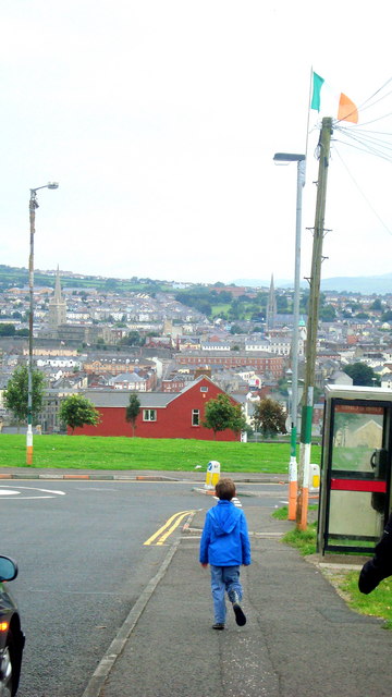
Image: © louise price Taken: 9 Aug 2009
A housing estate on Derry's Waterside with a great view of the city below.
Images are licensed for reuse under creativecommons.org/licenses/by-sa/2.0
Image Location
Latitude
54.987476
Longitude
-7.311078