Footpath to south of Hewlett Packard estate
Introduction
The photograph on this page of Footpath to south of Hewlett Packard estate by Brett Norris as part of the Geograph project.
The Geograph project started in 2005 with the aim of publishing, organising and preserving representative images for every square kilometre of Great Britain, Ireland and the Isle of Man.

There are currently over 7.5m images from over 14,400 individuals and you can help contribute to the project by visiting https://www.geograph.org.uk
Footpath to south of Hewlett Packard estate
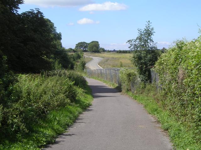
Image: © Brett Norris Taken: 11 Aug 2009
Footpath and road running to south of Hewlett Packard estate - now under development as part of the UWE site extension.
Images are licensed for reuse under creativecommons.org/licenses/by-sa/2.0
Image Location
Latitude
51.497036
Longitude
-2.550521