Footpath junction near Pembury Sub-station
Introduction
The photograph on this page of Footpath junction near Pembury Sub-station by David Anstiss as part of the Geograph project.
The Geograph project started in 2005 with the aim of publishing, organising and preserving representative images for every square kilometre of Great Britain, Ireland and the Isle of Man.

There are currently over 7.5m images from over 14,400 individuals and you can help contribute to the project by visiting https://www.geograph.org.uk
Footpath junction near Pembury Sub-station
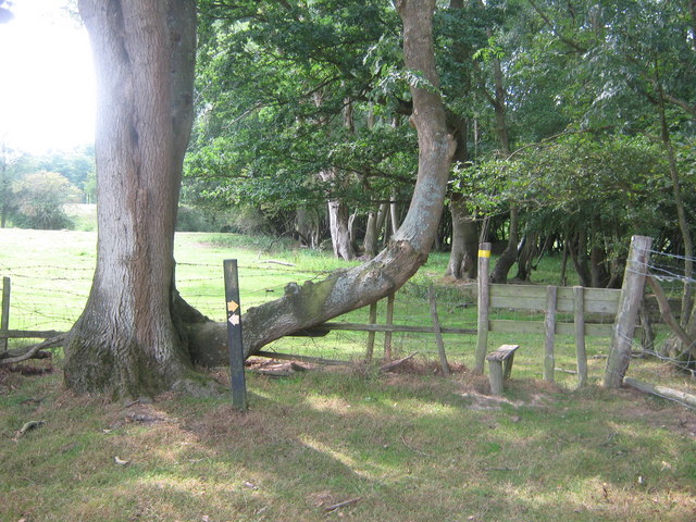
Image: © David Anstiss Taken: 9 Aug 2009
A path from Alders Road, lead past the Pembury Sub-Station, then divides here. A path heads right over the Alder Stream, and uphill to Amhurst Bank Road. A path also heads left to the A228 Maidstone Road.
Images are licensed for reuse under creativecommons.org/licenses/by-sa/2.0
Image Location
Latitude
51.16709
Longitude
0.342603