Hawley Street, Apperknowle
Introduction
The photograph on this page of Hawley Street, Apperknowle by Martin Speck as part of the Geograph project.
The Geograph project started in 2005 with the aim of publishing, organising and preserving representative images for every square kilometre of Great Britain, Ireland and the Isle of Man.

There are currently over 7.5m images from over 14,400 individuals and you can help contribute to the project by visiting https://www.geograph.org.uk
Hawley Street, Apperknowle
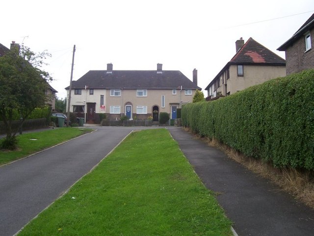
Image: © Martin Speck Taken: 10 Aug 2009
Local authority built housing at Apperknowle.
Images are licensed for reuse under creativecommons.org/licenses/by-sa/2.0
Image Location
Latitude
53.301092
Longitude
-1.428568