The Common, Brill
Introduction
The photograph on this page of The Common, Brill by Kurt C as part of the Geograph project.
The Geograph project started in 2005 with the aim of publishing, organising and preserving representative images for every square kilometre of Great Britain, Ireland and the Isle of Man.

There are currently over 7.5m images from over 14,400 individuals and you can help contribute to the project by visiting https://www.geograph.org.uk
The Common, Brill
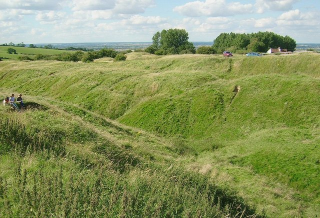
Image: © Kurt C Taken: 29 Jul 2007
A popular scene of Brill Common, a bumpy and lumpy series of folds and naturally formed mounds, which surround the famous Brill windmill. I believe this picture was taken shortly after this common was 're-opened' to the public, having been closed off to protect the area from modest erosion caused by people walking over its mounds. The road in the background leads (left) to Muswell Hill and the minor crossroads below.
Images are licensed for reuse under creativecommons.org/licenses/by-sa/2.0
Image Location
Latitude
51.822532
Longitude
-1.054695