Hollow Barroon
Introduction
The photograph on this page of Hollow Barroon by Alan Murray-Rust as part of the Geograph project.
The Geograph project started in 2005 with the aim of publishing, organising and preserving representative images for every square kilometre of Great Britain, Ireland and the Isle of Man.

There are currently over 7.5m images from over 14,400 individuals and you can help contribute to the project by visiting https://www.geograph.org.uk
Hollow Barroon
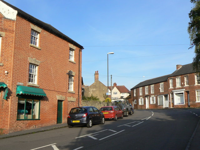
Image: © Alan Murray-Rust Taken: 8 Aug 2009
The street in the foreground is named The Hollow - simply Hollow on the nameplate on the building on the left. It leads on into (The) Barroon, the origin of the name of which is obscure, although probably dating back to the time of Danelaw.
Images are licensed for reuse under creativecommons.org/licenses/by-sa/2.0
Image Location
Latitude
52.842522
Longitude
-1.336022