Sellindge Village Hall
Introduction
The photograph on this page of Sellindge Village Hall by David Anstiss as part of the Geograph project.
The Geograph project started in 2005 with the aim of publishing, organising and preserving representative images for every square kilometre of Great Britain, Ireland and the Isle of Man.

There are currently over 7.5m images from over 14,400 individuals and you can help contribute to the project by visiting https://www.geograph.org.uk
Sellindge Village Hall
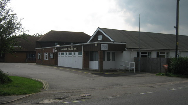
Image: © David Anstiss Taken: 8 Aug 2009
On A20 Ashford Road, opposite Sellindge Primary School.
Images are licensed for reuse under creativecommons.org/licenses/by-sa/2.0
Image Location
Latitude
51.103602
Longitude
1.002971