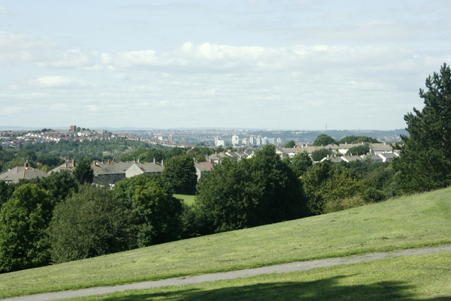
2009 : Unnamed park between Whitchurch and Stockwood
Introduction
The photograph on this page of 2009 : Unnamed park between Whitchurch and Stockwood by Maurice Pullin as part of the Geograph project.
The Geograph project started in 2005 with the aim of publishing, organising and preserving representative images for every square kilometre of Great Britain, Ireland and the Isle of Man.
There are currently over 7.5m images from over 14,400 individuals and you can help contribute to the project by visiting https://www.geograph.org.uk

Image: © Maurice Pullin Taken: 7 Aug 2009
A strip of undeveloped land between the two suburbs has been left as a parkland amenity. The brick tower at the top of a hill on the left, in Totterdown, is a cleverly disguised water tower. Who says local planners have no soul? The thing on the right horizon that looks like a pencil is the Post Office Tower on Purdown, or Pur Down. (as a child I thought it had something to do with cats.)

