Great Brickhill
Introduction
The photograph on this page of Great Brickhill by Martin Addison as part of the Geograph project.
The Geograph project started in 2005 with the aim of publishing, organising and preserving representative images for every square kilometre of Great Britain, Ireland and the Isle of Man.

There are currently over 7.5m images from over 14,400 individuals and you can help contribute to the project by visiting https://www.geograph.org.uk
Great Brickhill
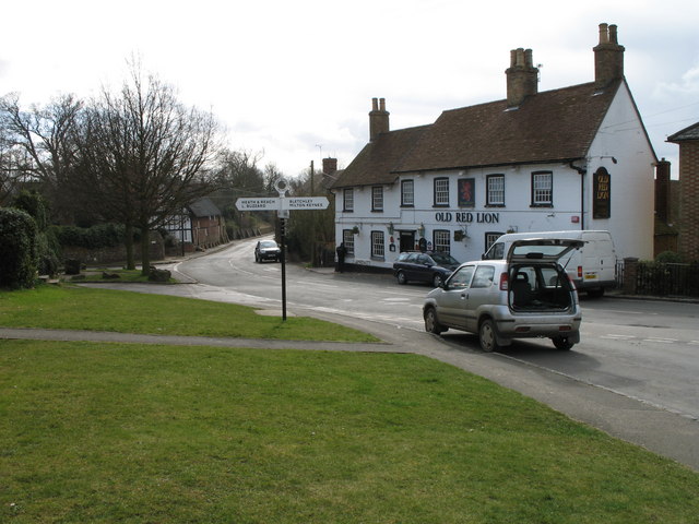
Image: © Martin Addison Taken: 28 Mar 2006
The centre of Great Brickhill with old style sign post, village pub and, just past the junction, a thatched barn converted to housing. The barn and the wall beyond have buttresses to stop them falling into the road.
Images are licensed for reuse under creativecommons.org/licenses/by-sa/2.0
Image Location
Latitude
51.962941
Longitude
-0.685692