Northern end of the village of St Blazey
Introduction
The photograph on this page of Northern end of the village of St Blazey by Tony Atkin as part of the Geograph project.
The Geograph project started in 2005 with the aim of publishing, organising and preserving representative images for every square kilometre of Great Britain, Ireland and the Isle of Man.

There are currently over 7.5m images from over 14,400 individuals and you can help contribute to the project by visiting https://www.geograph.org.uk
Northern end of the village of St Blazey
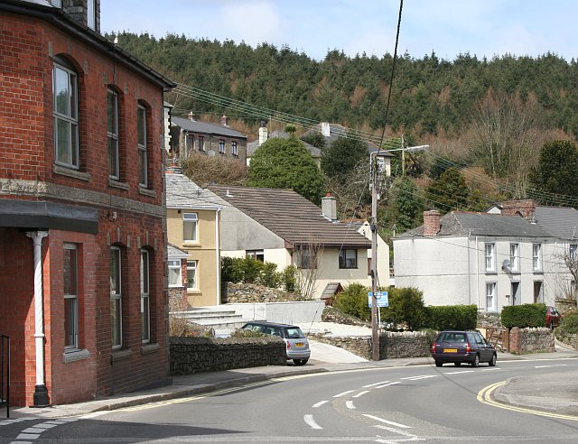
Image: © Tony Atkin Taken: 28 Mar 2006
On the slope behind the village is the conifer plantation of Prideaux Wood.
Images are licensed for reuse under creativecommons.org/licenses/by-sa/2.0
Image Location
Latitude
50.363115
Longitude
-4.717774