The Weavers' Trail at Carrot
Introduction
The photograph on this page of The Weavers' Trail at Carrot by Kenneth Mallard as part of the Geograph project.
The Geograph project started in 2005 with the aim of publishing, organising and preserving representative images for every square kilometre of Great Britain, Ireland and the Isle of Man.

There are currently over 7.5m images from over 14,400 individuals and you can help contribute to the project by visiting https://www.geograph.org.uk
The Weavers' Trail at Carrot
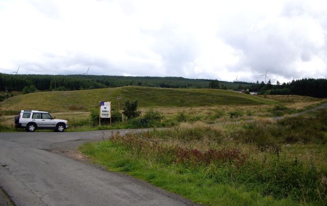
Image: © Kenneth Mallard Taken: 9 Aug 2009
The Weavers' Trail leaves the end of the public road at Carrot following a rough track through Whitelee Forest and across high ground passing Myres Hill and High Overmuir before descending to Darvel. Click on this link to proceed through Whitelee Forest http://www.geograph.org.uk/photo/1434833 or to return to Eaglesham http://www.geograph.org.uk/photo/1450602 and discover about the Weavers' Trail http://www.geograph.org.uk/article/The-Darvel-to-Eaglesham-weavers-trail . Gordon Brown has published photographs of the section of the Trail from High Overmuir to Darvel.
Images are licensed for reuse under creativecommons.org/licenses/by-sa/2.0
Image Location
Latitude
55.706455
Longitude
-4.267319