Loxwood Road
Introduction
The photograph on this page of Loxwood Road by P L Chadwick as part of the Geograph project.
The Geograph project started in 2005 with the aim of publishing, organising and preserving representative images for every square kilometre of Great Britain, Ireland and the Isle of Man.

There are currently over 7.5m images from over 14,400 individuals and you can help contribute to the project by visiting https://www.geograph.org.uk
Loxwood Road
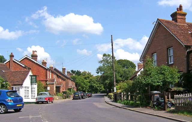
Image: © P L Chadwick Taken: 8 Aug 2009
Loxwood Road is the main road in this small village and forms part of the B2133 to the village of Alfold Crossways. On the immediate left can be seen part of The Crown. Image
Images are licensed for reuse under creativecommons.org/licenses/by-sa/2.0
Image Location
Latitude
51.095562
Longitude
-0.518923