Green Lane Farm
Introduction
The photograph on this page of Green Lane Farm by Simon Carey as part of the Geograph project.
The Geograph project started in 2005 with the aim of publishing, organising and preserving representative images for every square kilometre of Great Britain, Ireland and the Isle of Man.

There are currently over 7.5m images from over 14,400 individuals and you can help contribute to the project by visiting https://www.geograph.org.uk
Green Lane Farm
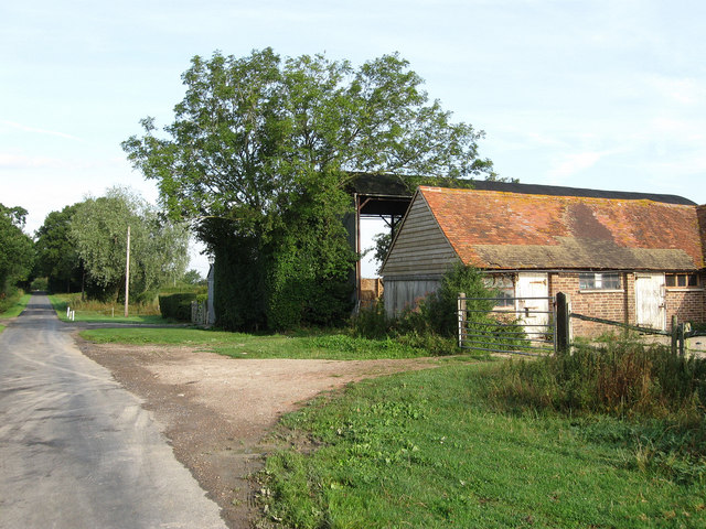
Image: © Simon Carey Taken: 8 Aug 2009
With Green Lane running alongside on the left. The farm was built on The Broyle, a former medieval deer park with common rights, that was enclosed in 1767 and first appeared in the 19th century.
Images are licensed for reuse under creativecommons.org/licenses/by-sa/2.0
Image Location
Latitude
50.909296
Longitude
0.078417