View of Bridleway
Introduction
The photograph on this page of View of Bridleway by David Quinn as part of the Geograph project.
The Geograph project started in 2005 with the aim of publishing, organising and preserving representative images for every square kilometre of Great Britain, Ireland and the Isle of Man.

There are currently over 7.5m images from over 14,400 individuals and you can help contribute to the project by visiting https://www.geograph.org.uk
View of Bridleway
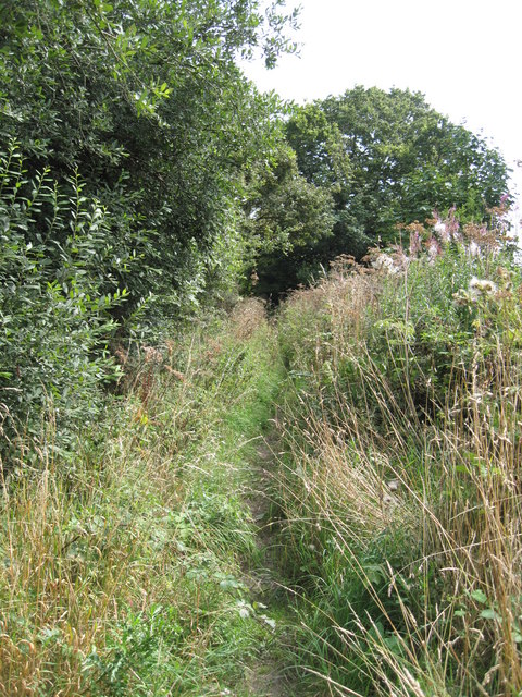
Image: © David Quinn Taken: 8 Aug 2009
The narrow bridleway between the minor road and Rake Lane. The path is better than it looks in the photo and can be traversed without nettle stings, but perhaps with a muddy boot.
Images are licensed for reuse under creativecommons.org/licenses/by-sa/2.0
Image Location
Latitude
53.24968
Longitude
-2.892296