Derelict Pub, Freeman Street, Birkenhead
Introduction
The photograph on this page of Derelict Pub, Freeman Street, Birkenhead by El Pollock as part of the Geograph project.
The Geograph project started in 2005 with the aim of publishing, organising and preserving representative images for every square kilometre of Great Britain, Ireland and the Isle of Man.

There are currently over 7.5m images from over 14,400 individuals and you can help contribute to the project by visiting https://www.geograph.org.uk
Derelict Pub, Freeman Street, Birkenhead
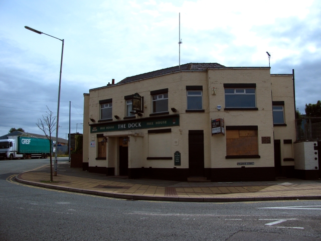
Image: © El Pollock Taken: 8 Aug 2009
The Dock public house, like a few others in the near vicinity, has been forced to close, in recent times.
Images are licensed for reuse under creativecommons.org/licenses/by-sa/2.0
Image Location
Latitude
53.397758
Longitude
-3.023077