Derelict Pub, Taylor Street, Birkenhead
Introduction
The photograph on this page of Derelict Pub, Taylor Street, Birkenhead by El Pollock as part of the Geograph project.
The Geograph project started in 2005 with the aim of publishing, organising and preserving representative images for every square kilometre of Great Britain, Ireland and the Isle of Man.

There are currently over 7.5m images from over 14,400 individuals and you can help contribute to the project by visiting https://www.geograph.org.uk
Derelict Pub, Taylor Street, Birkenhead
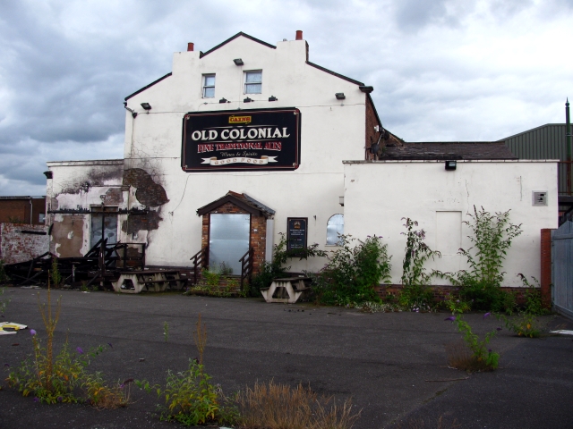
Image: © El Pollock Taken: 8 Aug 2009
The former Old Colonial public house, as viewed from the car park to the rear. Just visible, behind the pub, is the roof of the Wirral Transport Museum. The building may well end up making a useful extra indoor space for the museum.
Images are licensed for reuse under creativecommons.org/licenses/by-sa/2.0
Image Location


Leaflet Map data © OpenStreetMap
Latitude
53.396439
Longitude
-3.019586