Boroughbridge road south of Dishforth Airfield
Introduction
The photograph on this page of Boroughbridge road south of Dishforth Airfield by Toby Speight as part of the Geograph project.
The Geograph project started in 2005 with the aim of publishing, organising and preserving representative images for every square kilometre of Great Britain, Ireland and the Isle of Man.

There are currently over 7.5m images from over 14,400 individuals and you can help contribute to the project by visiting https://www.geograph.org.uk
Boroughbridge road south of Dishforth Airfield
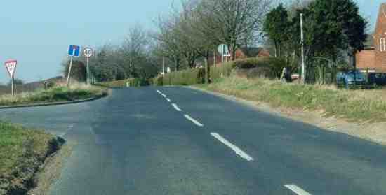
Image: © Toby Speight Taken: 23 Mar 2003
Before Dishforth Airfield was constructed due to WWII, truncating the road ahead, this was one of the two main north-south routes that converged on Boroughbridge. The housing visible to the right is clearly RAF standard issue.
Images are licensed for reuse under creativecommons.org/licenses/by-sa/2.0
Image Location


Leaflet Map data © OpenStreetMap
Latitude
54.128516
Longitude
-1.403782