Edgware Road W2
Introduction
The photograph on this page of Edgware Road W2 by Danny P Robinson as part of the Geograph project.
The Geograph project started in 2005 with the aim of publishing, organising and preserving representative images for every square kilometre of Great Britain, Ireland and the Isle of Man.

There are currently over 7.5m images from over 14,400 individuals and you can help contribute to the project by visiting https://www.geograph.org.uk
Edgware Road W2
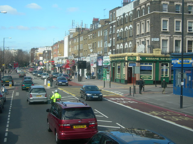
Image: © Danny P Robinson Taken: 19 Mar 2006
This part of Edgware Road is between the Marylebone Flyover and the Grand Union Canal. Photographer facing North. Boscobel Street NW8 is the road on the right. This part of the Edgware Road is the postcode boundary between W2 and NW8 London Postal Districts.
Images are licensed for reuse under creativecommons.org/licenses/by-sa/2.0
Image Location
Latitude
51.522691
Longitude
-0.173715