Waringstown House, Waringstown (1981)
Introduction
The photograph on this page of Waringstown House, Waringstown (1981) by Albert Bridge as part of the Geograph project.
The Geograph project started in 2005 with the aim of publishing, organising and preserving representative images for every square kilometre of Great Britain, Ireland and the Isle of Man.

There are currently over 7.5m images from over 14,400 individuals and you can help contribute to the project by visiting https://www.geograph.org.uk
Waringstown House, Waringstown (1981)
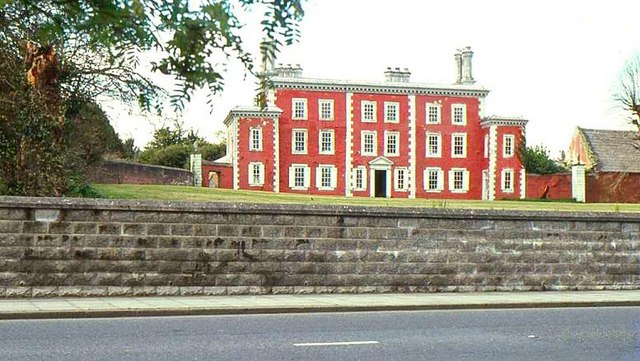
Image: © Albert Bridge Taken: 2 May 1981
See Image The house before restoration and before the growth of the trees had hidden it from public view.
Images are licensed for reuse under creativecommons.org/licenses/by-sa/2.0
Image Location
Latitude
54.43056
Longitude
-6.298496