Woodhouse Farm
Introduction
The photograph on this page of Woodhouse Farm by Kenneth Mallard as part of the Geograph project.
The Geograph project started in 2005 with the aim of publishing, organising and preserving representative images for every square kilometre of Great Britain, Ireland and the Isle of Man.

There are currently over 7.5m images from over 14,400 individuals and you can help contribute to the project by visiting https://www.geograph.org.uk
Woodhouse Farm
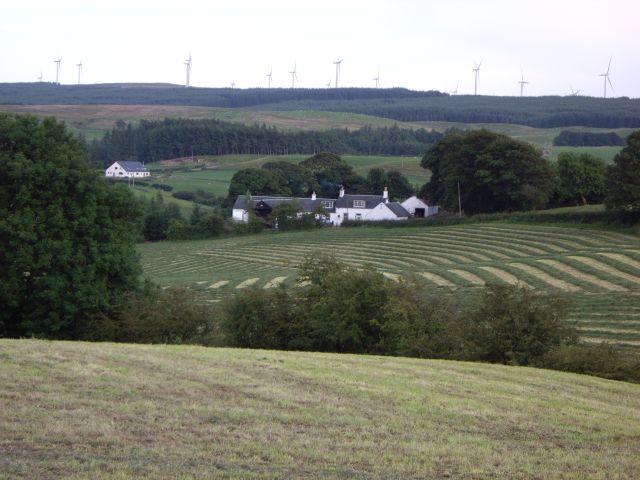
Image: © Kenneth Mallard Taken: 7 Aug 2009
Woodhouse Farm. The wind turbines at the Whitelee Windfarm can now be seen in the distance since Iain Thompson's photograph of nearby Park Farm was taken in 2006.
Images are licensed for reuse under creativecommons.org/licenses/by-sa/2.0
Image Location
Latitude
55.726946
Longitude
-4.267392