Coach House, Church Hill Road, Surbiton
Introduction
The photograph on this page of Coach House, Church Hill Road, Surbiton by Stephen Craven as part of the Geograph project.
The Geograph project started in 2005 with the aim of publishing, organising and preserving representative images for every square kilometre of Great Britain, Ireland and the Isle of Man.

There are currently over 7.5m images from over 14,400 individuals and you can help contribute to the project by visiting https://www.geograph.org.uk
Coach House, Church Hill Road, Surbiton
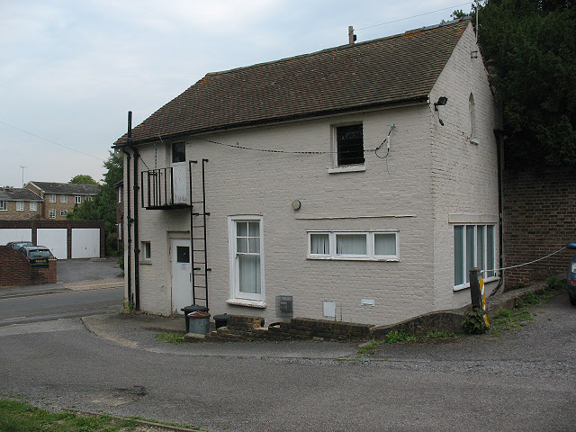
Image: © Stephen Craven Taken: 6 Aug 2009
The Coach House is the last surviving building belonging to the original St Mark's Vicarage, c. 1845 [from a parish history website - page since removed] It is now used as a meeting room for various community groups.
Images are licensed for reuse under creativecommons.org/licenses/by-sa/2.0
Image Location
Latitude
51.395478
Longitude
-0.301403