Paddock, Higher End - St Athan
Introduction
The photograph on this page of Paddock, Higher End - St Athan by Mick Lobb as part of the Geograph project.
The Geograph project started in 2005 with the aim of publishing, organising and preserving representative images for every square kilometre of Great Britain, Ireland and the Isle of Man.

There are currently over 7.5m images from over 14,400 individuals and you can help contribute to the project by visiting https://www.geograph.org.uk
Paddock, Higher End - St Athan
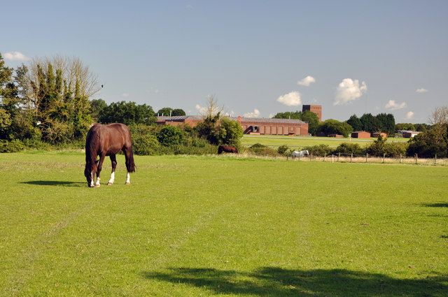
Image: © Mick Lobb Taken: 7 Aug 2009
In the background a hangar and water tower on the site of the airfield.
Images are licensed for reuse under creativecommons.org/licenses/by-sa/2.0
Image Location
Latitude
51.403968
Longitude
-3.425504