Cropland by Mill Lane, near Barrow
Introduction
The photograph on this page of Cropland by Mill Lane, near Barrow by Martin Speck as part of the Geograph project.
The Geograph project started in 2005 with the aim of publishing, organising and preserving representative images for every square kilometre of Great Britain, Ireland and the Isle of Man.

There are currently over 7.5m images from over 14,400 individuals and you can help contribute to the project by visiting https://www.geograph.org.uk
Cropland by Mill Lane, near Barrow
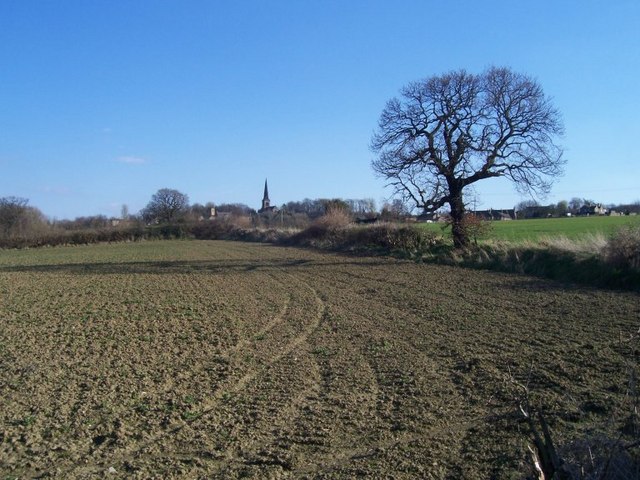
Image: © Martin Speck Taken: 29 Mar 2009
Cropland by Mill Lane looking towards Wentworth. You can see the tower of the disused Chapel and the spire of Holy Trinity Parish Church, Wentworth on the horizon.
Images are licensed for reuse under creativecommons.org/licenses/by-sa/2.0
Image Location
Latitude
53.483655
Longitude
-1.429133