Scoveston fort: old ironmongery
Introduction
The photograph on this page of Scoveston fort: old ironmongery by Natasha Ceridwen de Chroustchoff as part of the Geograph project.
The Geograph project started in 2005 with the aim of publishing, organising and preserving representative images for every square kilometre of Great Britain, Ireland and the Isle of Man.

There are currently over 7.5m images from over 14,400 individuals and you can help contribute to the project by visiting https://www.geograph.org.uk
Scoveston fort: old ironmongery
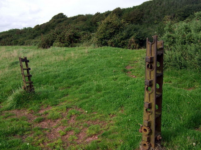
Image: © Natasha Ceridwen de Chroustchoff Taken: 5 Aug 2009
Several of these cast-iron bolt plate remain around the derelict fort and it is not clear whether they are in their original positions or whether they were re-utilised as gate/fence posts. Behind is the edge of the escarpment ditch that surrounds the fort and must make an excellent hideaway for wildlife of all sorts.
Images are licensed for reuse under creativecommons.org/licenses/by-sa/2.0
Image Location
Latitude
51.72012
Longitude
-4.979424